How can I help you?
Xamarin.Forms Maps (SfMaps) Overview
8 Jan 20251 minute to read
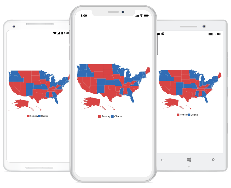
Xamarin maps control for Xamarin.Forms provides a graphical representation of geographical data. It is used to represent the statistical data of a particular geographical area on earth by panning and zooming. The maps control supports enhanced data visualization with bubbles and labels using data bound to map.

Key features
-
Layers: Visualize maps. A map can accommodate one or more layers.
-
Map elements: Show additional information on map with customized appearance using various set of elements, shapes, bubbles, markers, legends, labels, and data items.
-
User interaction: Enables options such as zooming, panning, and map selection to make the map elements more interactive.
NOTE
You can also explore our Xamarin.Forms Maps example to knows the functionalities of each feature.