Overview
28 Sep 20181 minute to read
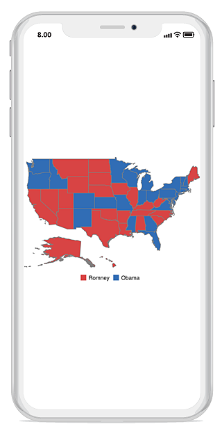
The Essential Maps for Xamarin.iOS control provides a graphical representation of geographical data. This is used to represent the statistical data of a particular geographical area on earth. You can navigate a map by panning and zooming. Maps support enhanced data visualization with bubbles and labels using data that bounded to map.

Key Features
-
Layers- Maps are visualized through layers. A map can accommodate one or more layers. -
Map Elements Customization- Additional information on map can be visualized with customized appearance using various set of elements, including shapes, bubbles, markers, legend, labels, and data items. -
User Interaction- Options such as zooming, panning, and map selection enable the effective interaction on map elements.